Tokyo, Tokyo
Sunshine 60 Street
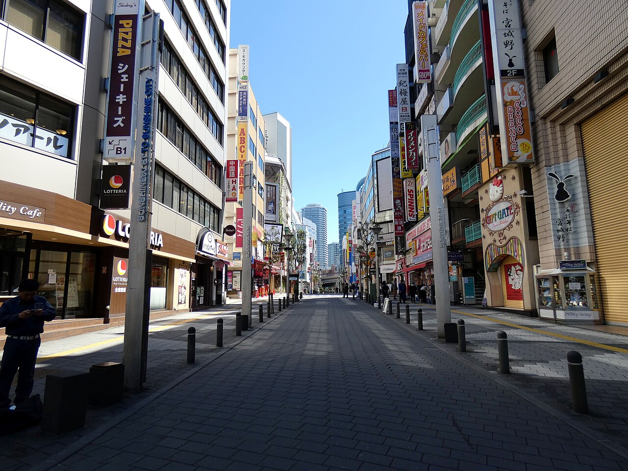
A central Ikebukuro street used by fans as a practical starting point for Durarara!!-related urban walking routes.
About this stop
Why fans visit Sunshine 60 Street
Sunshine 60 Street is a central Ikebukuro street used by fans as a practical starting point for Durarara!!-related urban walking routes.
Sunshine City is a major building complex in East Ikebukuro, opened in 1978, with shops, restaurants, an observatory, aquarium, and theatre. The street and tower skyline give recognizable vertical Tokyo context for neighborhood comparison walks.
Use this as an easy first stop from Ikebukuro Station (about 8 minutes on foot) before branching toward nearby streets, crossings, and commercial areas.
The area is busy — keep photos quick, stay clear of shop entrances, and avoid stopping in pedestrian flow.
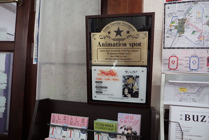
Tokyo anime tourism material identifies Ikebukuro-related animation routes; this entry uses licensed Commons photography and OSM coordinates for map placement.
Nearby stops include Ikebukuro Station east exit and Sunshine City if you want to extend the walk into a full Durarara!! neighborhood loop.
Evening visits show neon and tower lighting that anime city scenes often exaggerate — compare street width and pedestrian flow before matching any single storefront.
If you continue toward Higashi-Ikebukuro or the west exit, note how different station mouths change the neighborhood density — Durarara!! routes often mix both sides in one loop.
Sunshine 60 Street (サンシャイン60通り) is mapped in Tokyo, Tokyo, with nearest access at Ikebukuro Station (8 min on foot). A central Ikebukuro street used by fans as a practical starting point for Durarara!!-related urban walking routes. Use this as an easy first stop from Ikebukuro Station before branching toward nearby streets, crossings, and commercial areas. Tokyo anime tourism material identifies Ikebukuro-related animation routes; OSM provides the road geometry used for map placement. Arrive at Ikebukuro Station and walk toward the Sunshine City side. Sunshine 60 Street is a straightforward pedestrian route through the commercial district. Photo approach: Street atmosphere matters here. Try a horizontal city shot with signs, pedestrians, and depth instead of forcing a single landmark-style composition. Suggested time on site: 30-50 minutes is enough for the street itself. Add more time if you include shops, food, or nearby side-street comparisons. The area is busy. Keep photos quick, stay clear of shop entrances, and avoid stopping in pedestrian flow.
Scene comparison
Real location vs anime scene
Visit basics
- Address
- Higashi-Ikebukuro, Toshima City, Tokyo
- Nearest station
- Ikebukuro Station
- Walk time
- 8 minutes
- Coordinates
- 35.7305256, 139.7176167
- Related anime
- Durarara!!
- City guide
- Tokyo anime locations
On-site experience
What it feels like to visit
Sunshine 60 Street is less about a single perfect frame and more about Ikebukuro's urban density. The value is the feeling of walking through a place that fans associate with city movement, crowds, signs, shops, and nighttime energy.
It works well as a route spine. Instead of treating it as one photo location, use it to connect nearby crossings, commercial buildings, station exits, and side streets.
How to get there
From Ikebukuro Station
Arrive at Ikebukuro Station and walk toward the Sunshine City side. Sunshine 60 Street is a straightforward pedestrian route through the commercial district.
Start during daylight if this is your first visit, then return after dusk if you want a more dramatic city atmosphere.
- Start at Ikebukuro Station and follow signs toward Sunshine City.
- Walk the length of Sunshine 60 Street while noting crossings and storefront rhythm.
- Pause only where pedestrian flow allows; avoid stopping in the center of busy sidewalks.
- Use the street as a base for nearby Ikebukuro anime route research.
Quick visit note
Use this as an easy first stop from Ikebukuro Station before branching toward nearby streets, crossings, and commercial areas.
Etiquette
The area is busy. Keep photos quick, stay clear of shop entrances, and avoid stopping in pedestrian flow.
Nearby in Tokyo
More stops on the same route
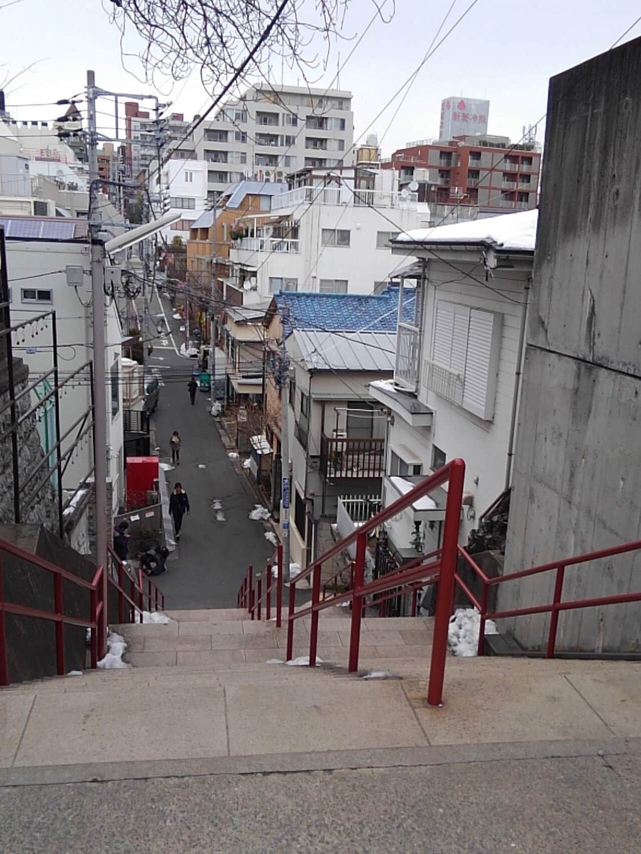
Suga Shrine Stairs
Known by fans as the stairway associated with the closing encounter imagery from Your Name.
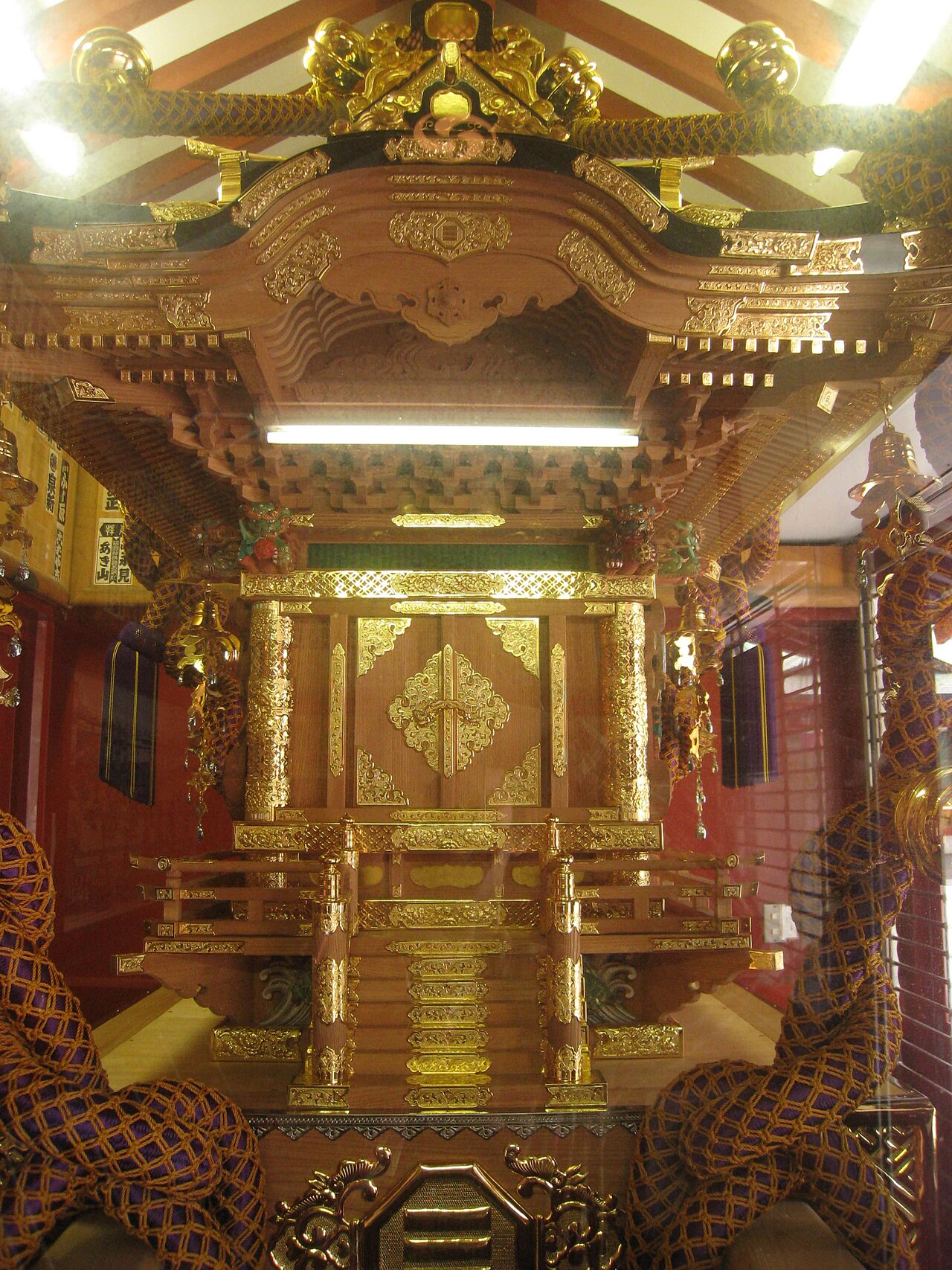
Kanda Shrine Area
A Kanda and Akihabara pilgrimage anchor commonly connected with Love Live! fan routes and Tokyo anime tourism material.
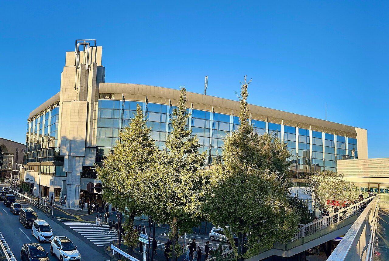
Shinanomachi Station Footbridge
Useful for the elevated city-walk feeling fans associate with Your Name's Yotsuya and Shinanomachi sequence.
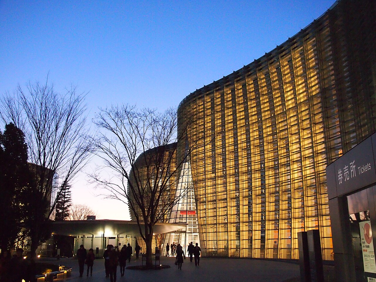
The National Art Center Tokyo
A clean modern-art setting that helps fans build a Tokyo architecture route around Your Name-related discussion.